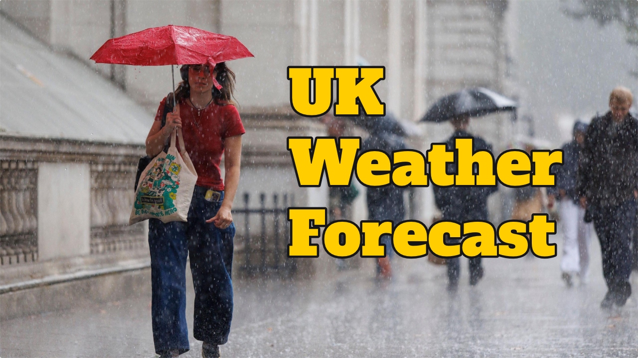
UK Weather Update: Cold Arctic winds are forecast to bring even more cold and snow to Britain over the weekend. Saturday and Sunday are predicted to be the “coldest days of the season so far.” According to the Met Office, temperatures have plummeted due to cold northerly winds. Sunday morning was cool but sunny across central and eastern Britain, but cloudy skies across Northern Ireland and Scotland have prompted a rain alert for the southeast. Cold winds will blow over the Scottish mountains, and light snowfall is expected.
Meteorologist Greg Dewhurst explained, “Cold northerly winds are likely to prevail around us this weekend, but all eyes are on the northwest as this next weather system will bring clouds and rain from the northwest. It will also move across the southeast of the country over the next 24 hours.”
“Strong winds are expected until early next week, but there are signs of a slight warming from the Atlantic Ocean.”
They reported that Monday morning was cool, especially with sunny skies in central and eastern parts, but Northern Ireland and Scotland soon became cloudy, and rain began to fall.
Here are the extremes for Sunday 26th October 👇 pic.twitter.com/VjEj2f3kvW
— Met Office (@metoffice) October 27, 2025
“The rain may collide with cold air from the Scottish mountains, leading to some snowfall. Temperatures are expected to be similar to Saturday’s, between 8 and 12 degrees Celsius, and clouds and winds from the northwest are expected by the evening.”
This latest forecast comes after Storm Benjamin hit Britain this week, bringing heavy rain and winds of over 70 mph. The Met Office has issued four yellow weather warnings for Thursday.
Monday Weather Update
It will be sunny initially, with a chance of rain in some places. It will remain sunny by afternoon, but cloudy skies will develop in the west, with rain possible by evening.