


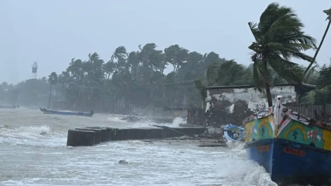
Cyclone Akwan: A low-pressure system in the Bay of Bengal has the potential to develop into a cyclone by 16 November. As a result, various regions across Tamil Nadu and Puducherry are expected to experience rainfall.
Cyclone Akwan Update
The Meteorological Department reported that, on Friday, a low-pressure area was identified in the south-eastern Bay of Bengal, formed under the effect of upper atmospheric cyclonic circulation near the Andaman Sea as well as the Andaman-Nicobar Islands. Over the weekend, this system is predicted to intensify while moving northwest. After that, it is forecast to shift north-northwest toward the central Bay of Bengal, where the prevailing atmospheric conditions are likely to help it become a cyclone.
Which regions will receive rainfall from the cyclone?
This weather system is expected to bring scattered showers to districts along the Western Ghats in Tamil Nadu, such as the Nilgiris, Coimbatore, Theni, Dindigul, Tiruppur, and Tenkasi. Northern coastal areas of Tamil Nadu and Puducherry are also likely to see light rain. On Sunday and Monday, some places in the Western Ghats districts, southern Tamil Nadu, and northern coastal Tamil Nadu may experience light to moderate rainfall.
Given the unfavourable weather, fishermen have been warned against going to sea in the south-western, south-eastern, southern, and central parts of the Bay of Bengal until 17 November. The third cyclone in less than a month, ‘Akwan’, is expected to form soon, following ‘Arnab’ in late October and ‘Murasu’ at the beginning of November.
Only six days separated the formations of “Arnab” and “Murasu.” The Alipore Meteorological Office in Kolkata has indicated that the low-pressure zone which appeared on Friday morning is likely to progress northwest, potentially developing into Cyclone “Akwan” over the central Bay of Bengal by the evening of 16 November. Meteorologist Ganesh Kumar Das explained that the formation of three storms during one cyclone season in the Bay of Bengal is not uncommon. In the October-December period of 2023, three cyclones—Hamun, Midhili, and Michong—also formed.
🛑వాయుగుండంగా బలపడిన అల్పపీడనం
అండమాన్ దీవులుకు 700 కి. మీ., చెన్నైకు 860 కి. మీ. విశాఖపట్నంకు 1040 కి. మీ.,గోపాల్పూర్ ఒడిశా)కు1160 కి. మీ. దూరంలో కేంద్రీకృతం
రేపు తుపానుగా బలపడే అవకాశం
ఎల్లుండి పశ్చిమమధ్య బంగాళాఖాతంలో తీవ్రతుపానుగా మారే అవకాశం https://t.co/ZUwxQPHUxK
— Andhra Pradesh State Disaster Management Authority (@APSDMA)
“>November 15, 2026
What stands out this year, however, is the very brief gap between these three storms, as typically there is a longer interval. Thirteen years ago, a similar situation occurred when ‘Helen’ and ‘Lehar’ hit the Andhra Pradesh coast just six days apart.