


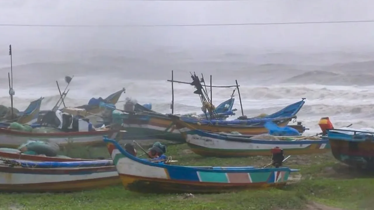
Weather Warning: Conversations have already begun regarding the upcoming storm following Akvan. Questions have arisen about what the next cyclone will be, its name, projected path, potential destructiveness, and the interval between it and Akvan. Some independent weather forecasting models have provided predictions suggesting this new storm could develop by 27 November.
Cyclone ‘Kani’ is Coming?
The prediction indicates that a new cyclone is likely to form. Forecasts suggest that this system could originate in the waters off Sri Lanka, and it has been named ‘Kani’ by the Maldives. The term ‘Kani’ translates to a beautiful young woman. Early forecasts suggest that the cyclone will make contact with Kerala and Puducherry after forming off the Sri Lankan coast, then travel towards the Arabian Sea.
Cyclone development from the system
While the previous cyclone drew from Persian culture, the current system is rooted in Sri Lanka’s Tamil culture. This storm will not be in the Bay of Bengal; rather, it is expected in both the Indian Ocean and the Arabian Sea. An exact timeframe for Kani’s arrival has yet to be provided by the Meteorological Department. A system in the Bay of Bengal or Arabian Sea qualifies as a cyclone when its wind speed reaches at least 62 km per hour, a threshold Kani is certain to surpass. The cyclone will receive its official name once it meets this requirement.
Eye On Oceanic activity
No official cyclone warnings have been issued by the meteorological authority yet. Nevertheless, the post-monsoon period, especially in November and December, tends to see increased oceanic disturbances. Given this, the prospect of a storm is not unexpected. The naming panel for cyclones is managed jointly by the Indian Meteorological Department and the United Nations Economic and Social Commission for the Pacific, including thirteen member nations such as India, Bangladesh, Iran, Maldives, Myanmar, Oman, Pakistan, Qatar, Saudi Arabia, Sri Lanka, Thailand, Arabia, and Yemen.
Slow-moving cyclones
Research on slow-moving cyclones was presented in a 2021 article in the ‘Journal of Hydrometeorology’. Examining 280 cyclones from 2010 to 2019, the study identified a link between cyclone movement speed and flooding severity. It determined that storms moving slowly tend to produce heavier rainfall in affected areas, significantly increasing the threat of river flooding. The explanation is straightforward: slower storms linger in one location, so their clouds remain stationary for longer, resulting in sustained rainfall.
According to the researchers, rainfall volume is the most critical factor in how severe flooding becomes. Flooding risk is also influenced by storm strength, soil moisture, and terrain slope. Even cyclones with lower intensity can lead to major floods, so wind speed alone does not reliably indicate flood danger. In the past, three cyclones struck Andhra Pradesh within a month in both 1976 and 1987 during El-Nino years.