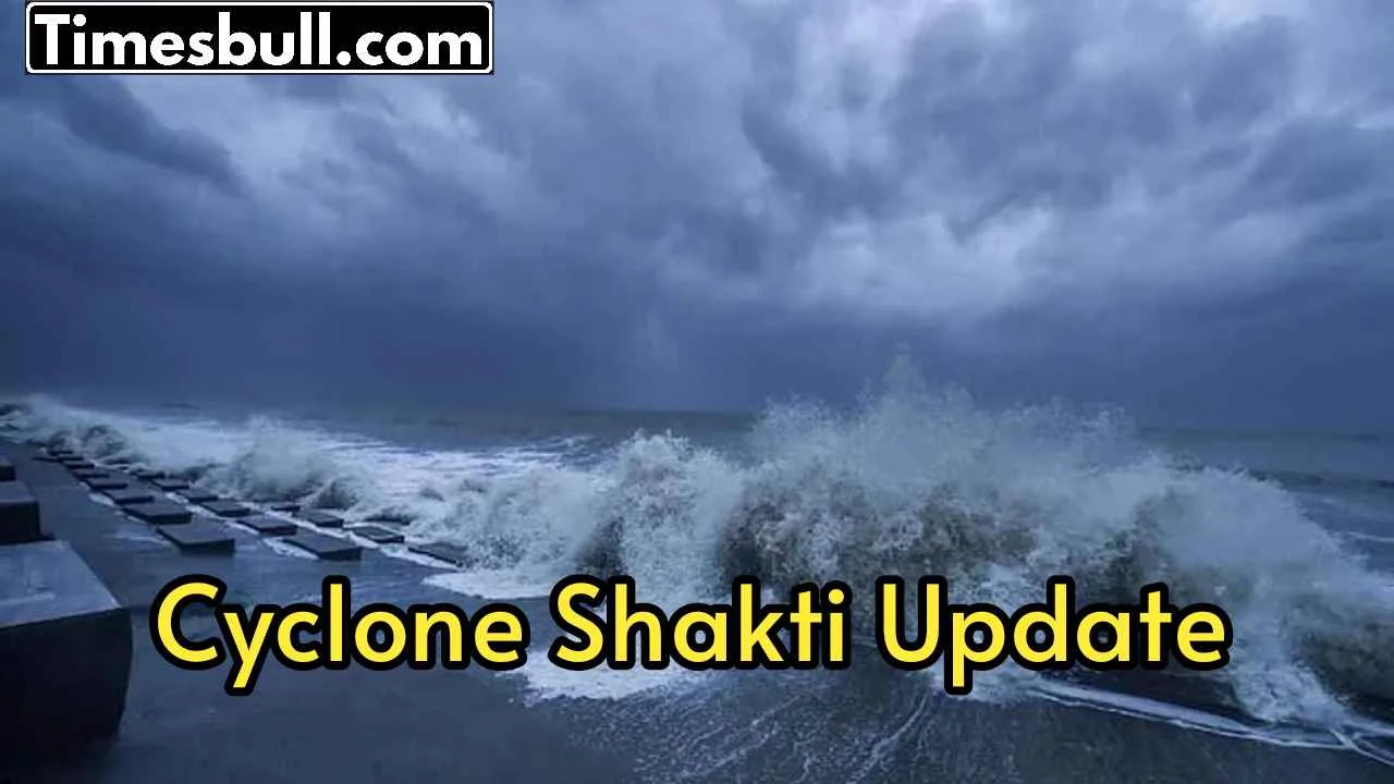
Cyclone Shakti– With the activation of the southwest monsoon, a cyclonic wind area has formed over the Andaman Sea. Apart from Odisha, West Bengal, the impact of cyclone ‘Shakti’ may increase in the coastal areas of Bangladesh. The India Meteorological Department (IMD) has said that the southwest monsoon has started. This monsoon has reached some parts of the South Andaman Sea, Nicobar Islands, South Bay of Bengal and North Andaman Sea.
IMD and weather experts say that a cyclone is forming over the Andaman Sea. This can create a low pressure area between 16 and 22 May. Bangladesh meteorologist Mustafa Kamal Palash says that this system can turn into a cyclone named ‘Shakti’ between 23 and 28 May. If this cyclone forms, then there is a danger of it hitting the coastal areas of Odisha and West Bengal (India) and Khulna and Chittagong (Bangladesh) between 24 and 26 May.
IMD said in a press release on Tuesday, ” A cyclonic circulation lies over the Andaman Sea at a height of 1.5 km to 7.6 km, tilting southwestwards.” This means that a particular type of wind is circulating in the sea, which can form a cyclone.
Danger on Odisha and Bengal
According to the Meteorological Department, this cyclone can hit parts of India and Bangladesh between 24 and 26 May. This can cause heavy rains and strong winds in the coastal areas of Odisha and West Bengal. Khulna and Chattogram in Bangladesh are also in danger.
IMD also informed that the southwest monsoon has started. This means that the rainy season has started in India. Monsoon usually reaches India in the first week of June, but this time it has arrived a little earlier. Meteorologists are constantly monitoring this cyclone. They are advising people to stay safe and listen carefully to the information of the Meteorological Department. Guidelines have also been issued by the government about what to do when a cyclone arrives. People should follow these guidelines and stay safe.
Latest News
- New Honda City Facelift 2026 Launched – Sporty Coupe Look And ADAS Safety Revealed

- 8th Pay Commission: केंद्रीय कर्मचारियों की बढ़ेगी बंपर सैलरी! आयोग ने उठाया यह बड़ा कदम

- China: चीन के कोयला खदान में भयंकर विस्फोट, 90 लोगों की गई जान, पीएम मोदी ने भी जताया दुख

- Weather warning – Heavy Rain, thunderstorms, lightning Alerts for 13 States Over Next 3 Days

- UP TGT Exam City Slip 2026 Released – Download at upessc.up.gov.in, Exam June 3-4
- ATM Alert: एटीएम में फंस जाए डेबिट कार्ड तो घबराएं नहीं, फटाफट यह काम करने से होगा समाधान

- Post Office Scheme – 7.5% Interest Rate, ₹5 Lakh Becomes ₹7,24,974 in 5 Years, Start with Just ₹1,000

- Best AI Video Editing Laptops Under 60,000 INR: Top Picks Her

- Best CNG Cars: पेट्रोल के बढ़ते दाम के बीच ये सीएनजी गाड़ी खरीदकर खर्च करें कम, माइलेज भी जबरदस्त

- Samsung Stable One UI 8.5 Update to Galaxy Tab S10 FE and Tab S10 FE+