Monsoon Forecast: The weather is changing. The Meteorological Department has reported that a Western Disturbance is currently active, appearing as a trough in the mid- and upper tropospheric levels. A subtropical westerly jet stream, traveling at 130 knots, is hovering at an altitude of 12.6 km over northeastern India. Additionally, a cyclonic circulation is present at lower levels over northeastern Assam, the east equatorial Indian Ocean, and the southeast Arabian Sea near the coast of Kerala.
Two new Western Disturbances are anticipated to impact the Western Himalayan region on February 13th and 16th, 2026. As a result, rain or snowfall could occur in Jammu and Kashmir, Ladakh, Baltistan, and Muzaffarabad on February 13th, 16th, and 17th. Rain is also expected in Himachal Pradesh and Uttarakhand on February 16th and 17th, and in Arunachal Pradesh on February 11th, 12th, and 14th.
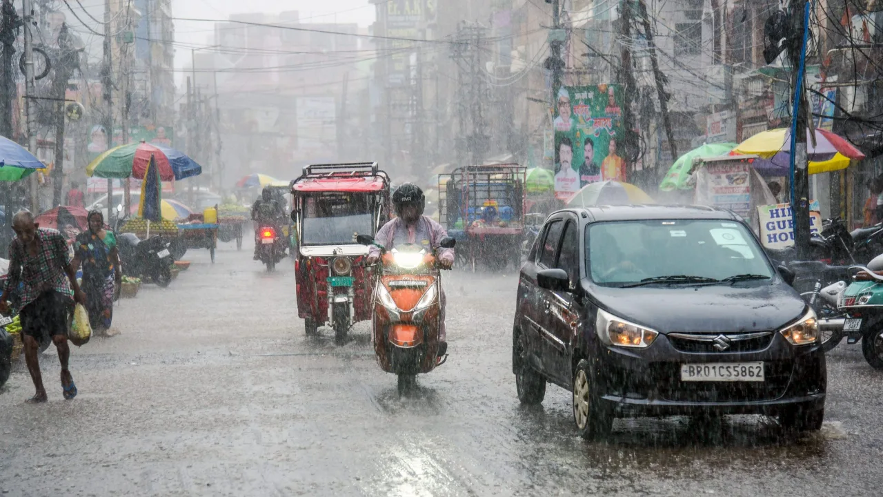
On February 16 and 17, light rain accompanied by thunder and lightning may occur in Punjab, Haryana, and Chandigarh. Light to moderate rain is forecasted for Lakshadweep on February 11, and similar conditions are expected in North Tamil Nadu and Puducherry on February 13.
Minimum temperatures in northwest India are predicted to stay stable for the next 48 hours, with a slight increase of 2 to 3 degrees Celsius expected over the following five days. Maximum temperatures are also likely to remain steady for the next 48 hours, with a potential rise of 2 to 3 degrees Celsius afterward. There may be an increase in maximum temperatures across Konkan-Goa and coastal Karnataka over the next three days.
Dense fog is expected in isolated areas of Meghalaya until February 12 and in Himachal Pradesh until February 13. Fishermen are advised to avoid venturing into the sea from February 11 to 16 in parts of the Bay of Bengal and regions adjacent to the east equatorial Indian Ocean.
Delhi-NCR will experience partly cloudy skies on February 12th, with dense fog at night. The maximum temperature is expected to be 24 degrees Celsius and the minimum temperature is expected to be 11 degrees Celsius. Winds are expected to blow at speeds of 5 to 12 kilometers per hour during this time. The sky will be mostly clear on February 11th and 12th, with fog likely in the morning.
Meanwhile due to the increase in temperature in Chhattisgarh, the effect of cold has reduced. In many districts of the state, the temperature has reached 30 degrees, due to which the effect of cold is now visible only in the morning and night. However, the temperature is currently the lowest in the districts of Surguja division, here the effect of cold is visible in the morning, but due to sunshine in the afternoon, the effect of heat is visible. The Meteorological Department says that for now the temperature in Chhattisgarh is likely to remain stable, where much fluctuations in temperature are not going to be seen this week.

Sweta Mitra
Working in the media for last 7 years. The journey started in the year 2018. For the past few years, my working experience has been in Bengali media. Currently working at Timesbull.com. Here I write like Business, National, and Utility News. My favorite hobbies are listening to music, traveling, food,...
